
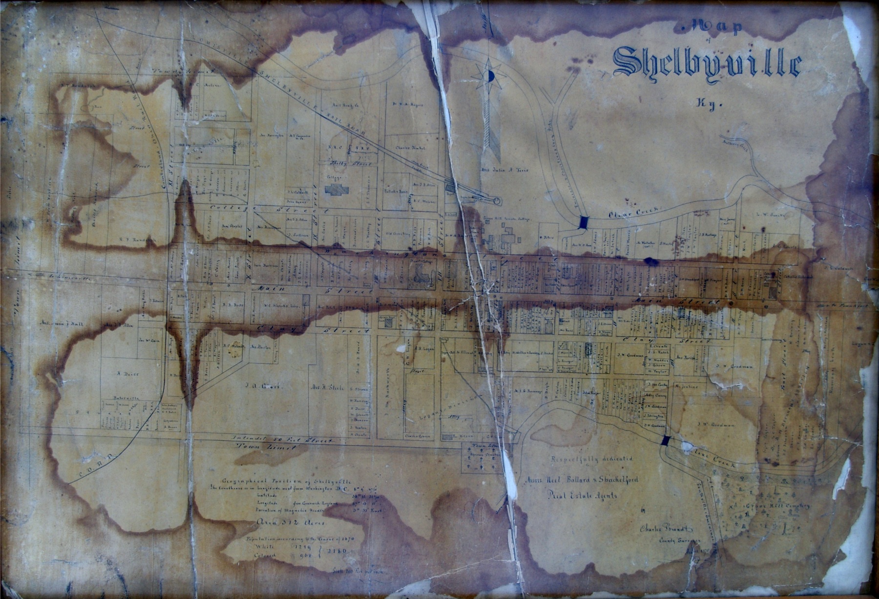
Shelbyville’s streets and surroundings come into view in a hand-drawn map dated April 1875, available through the Shelby County Historical Society.
The Society identifies the map as one used by real estate agents Neal, Ballard and Shackleford, and credits Duanne Puckett for providing it.
Look for Main Street, the course of Clear Creek and the Louisville and Frankfort railroad on the map. The full-size scan lets readers examine the street names and numbered lots more closely.